![]()
![]()
![]()
![]()
![]()

Back
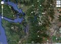
to 4 days of backpacking Jackita Ridge, Devil's Dome, Ross Lake, & Ruby
Creek loop (Pasayten Wilderness, North Cascades, WA)
(3-6 Sept 2011)
(Circumnavigating Jack Mountain in Counterclockwise)
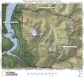
--- about 44 miles with 10000 ft elev gain.
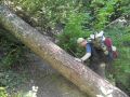
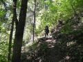
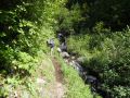
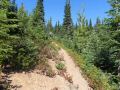
Day 1 (Saturday: 1000-1600) (Canyon Creek Trailhead to the Devils Park Camp site. Steep switchbacks) --- about 8 miles with 4700 ft elev gain.
Slept about 6 hours at home. Started strength at 10 (scale 1-10 best) and ended with 8. Started spirit at 10 (scale 1-10 best) and ended with 10.
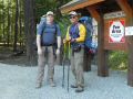
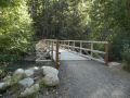
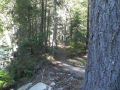
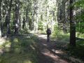
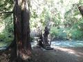
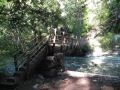
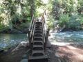
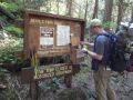
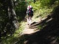
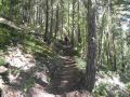
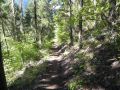
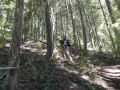
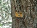
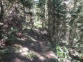
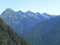
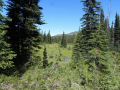
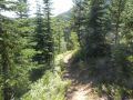
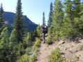
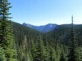
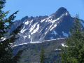
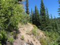
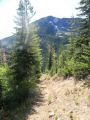
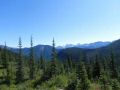
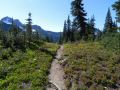
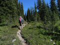
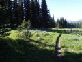
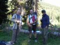
Jay and I took the Kingston Ferry at 0625am, drove to the Canyon Creek Trailhead, and started hiking 1000am. Kevin drove there Friday afternoon by himself and started hiking early on Saturday. We rendezvoused at our first camp site at 1830. On the way up, Kevin summited two peaks including the Crater Mountain. In general, the trail was in good shape. The first 4 miles were very steep (like the Upper Maynard Burn trails in Olympics) with about 3400 ft elev gain.
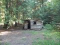
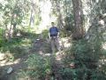
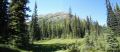
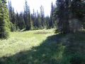
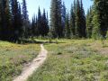
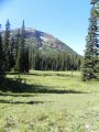
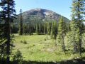
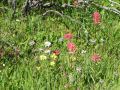
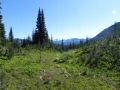
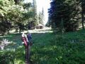
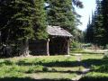
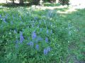
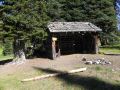
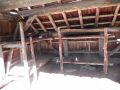
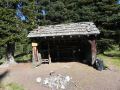
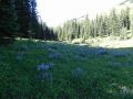
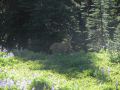
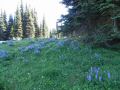
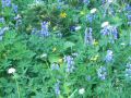
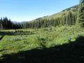
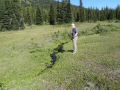
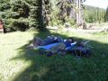
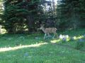
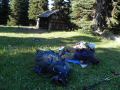
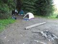
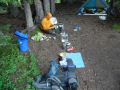
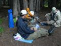
The highlight was, of course, arriving at our first camp site, Devils Park. It was a high country open meadows that were filled with wild flowers. We put down our heavy packs and laid down on the meadow next to the Shelter waiting for Kevin while watching a deer grazing the rich meadows. It was a very nice place to camp with an open meadow with little breeze (not much bugs). It was quite windy through the night.
0 miles (1900 elev). Canyon Creek Trailhead.
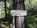
0.2 miles (1900 ft
elev). Jackita Ridge Trail. Started 4 miles trail with 3400 ft elev gain.
0.3
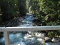
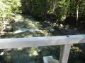
miles (1900 ft elev). Ruby Creek Trail.
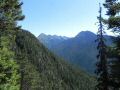
4.0 miles (5300 ft elev). Junction
to Crater Lake and Crater Mt.
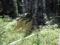
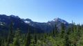
5.8 miles. McMillan Park. Had some
nice camp grounds but really buggy due to lots of standing water.
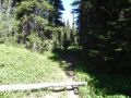
8.0 miles
(5900 ft elev). Camping at Devils Park. Little breezy and moderate bugs
(was not annoying).
|
|
|
|
|
|
|
|
|
|
|
|
|
|
|
|
|
|
|
|
|
|
|
|
|
|
|
|
|
|
|
|
|
|
|
|
|
|
|
|
|
|
|
|
|
|
|
|
|
|
|
|
|
|
|
|
|
|
|
|
|
|
|
|
|
|
|
|
|
|
|
|
|
|
|
|
|
|
|
|
|
|
|
|
|
|
|
|
|
|
|
|
|
|
|
|
|
|
|
Back to Jackita Ridge, Devil's Dome, Ross Lake, & Ruby Creek loop