.jpg)
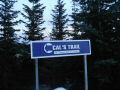
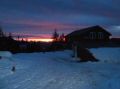
Backpack, Christmas Eve Overnigher at the Copper Creek
Hut, MTTA – 12-24-2011
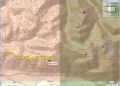
---- About 8.8 miles round trip with 1000 ft
elev gain.
During the Holiday Season, on the Christmas and the New Year days, our family has been gathering together to share the stories and food. This year, both days fell on the Sundays, which are also the church days. My wife has been an active church member and also a choir member. She did not want to miss the Sunday services as the choir members have been diligently practicing for the days. Well, I agreed with my wife that we would meet our relatives another day.
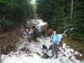
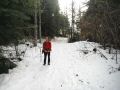
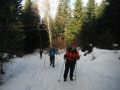
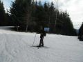
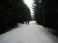
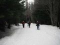
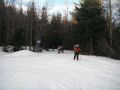
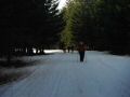
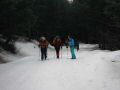
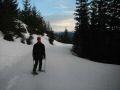
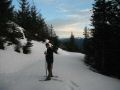
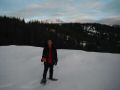
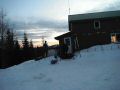
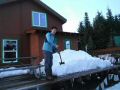
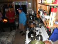
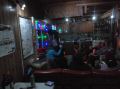
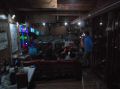
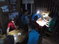
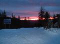
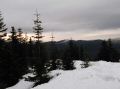
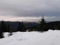
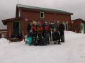
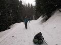
For the weekend, our son, Danny and I joined the overnighter at the Copper Creek Hut which is maintained by the Mt Tahoma Trail Association (MTTA). The other two shelters, High Hut and the Yurt are also maintained by the MTTA. I’ve hiked most of the dayhike trails in the Olympics, a couple in the Cascades, and a few in the Columbia River Gorge areas, but have not hiked any trail in the Mt Rainier area. So, I was excited to join this PWC event, especially one of huts at the MTTA. Our son was home for the winter break from WSU and joined the trip. My another goal was to practice cross county (XC) ski some of the trails as I have not XC skied since the Feb this year and going to the Methow Valley 4 days trip in Jan 2012.
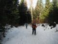
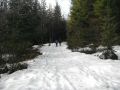
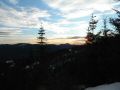
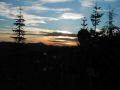
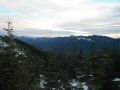
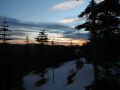
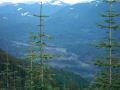
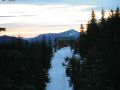
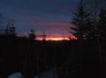
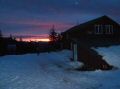
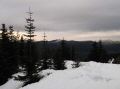
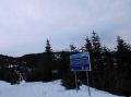
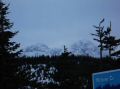
Yes, it was an excellent trip, well organized by Emily. A max of 14 PWC members and friends enjoyed the trip. The trail was about 4.4 miles one way with 1000 ft elev gain. The Copper Creek Hut was located at 4200 ft elev. Mt Rainier is geographically located about 12 miles East-NE of the Hut. During the previous years, I head lots of snow on the trail, but this year has been mild weather. Everybody walked up using the traction devices. For the last 2 miles or so, I was able to XC ski. I was glad to practice snow plowing 3 times on the steepest section of the trail (just below the Hut). On Sunday (25 Dec), we left the hut at 1030. It was light snowing above 3500 ft elev and rained below. Snow was frozen solid overnight and my backpack was too heavy for XC skiing. So, I snowshoed all the way close to the Sno-Park.
Well, I signed up for all the MTTA overnighters in Jan and March 2012. It will be fun overnighters.
|
|
|
|
|
|
|
|
|
|
|
|
|
|
|
|
|
|
|
|
|
|
|
|
|
|
|
|
|
|
|
|
|
|
|
|
|
|
|
|
|
|
|
|
|
|
|
|
|
|
|
|
|
|
|
|
|
|
|
|
|
|
|
|
|
|
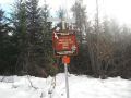
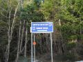
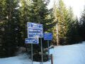
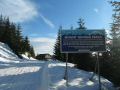
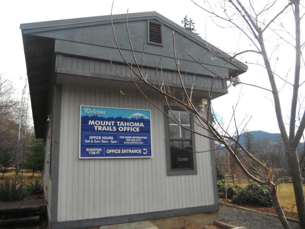
Copper Creek Hut, Mt Tahoma Trail
Association (MTTA)
Driving Directions:
a. Drive east from Tacoma
on State Route 7 to Elbe
b. Turn left onto SR 706--the Road
to Paradise
c. Continue east toward Ashford.
d. Just past milepost 6, turn left
(north) onto Forest Road 92.
e. Drive up to 6 miles, passing a
white Mount Rainier Lions building in the first 0.5 mile, to the lower or upper
Sno-Park--depending on the snow level--at the road's end. This route is
described from the upper Sno-Park.
If you miss FR 92 you'll find the
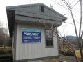
MTTA office near the Ashford fire station. MTTA trail/topo maps are available
at the local gear shop. BE SURE TO CARRY
CHAINS and be prepared for driving forest roads in snow and ice.
_tm.jpg)