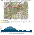
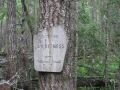
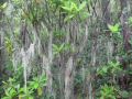
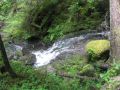
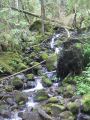
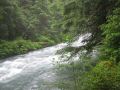
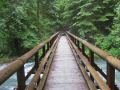
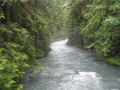
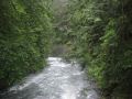
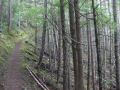
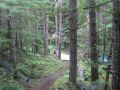
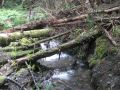
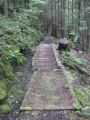
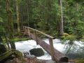
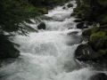
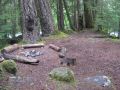
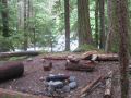
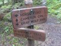
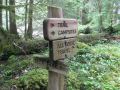
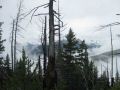
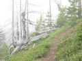
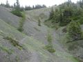
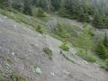
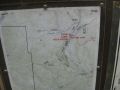
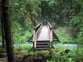
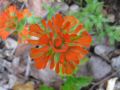
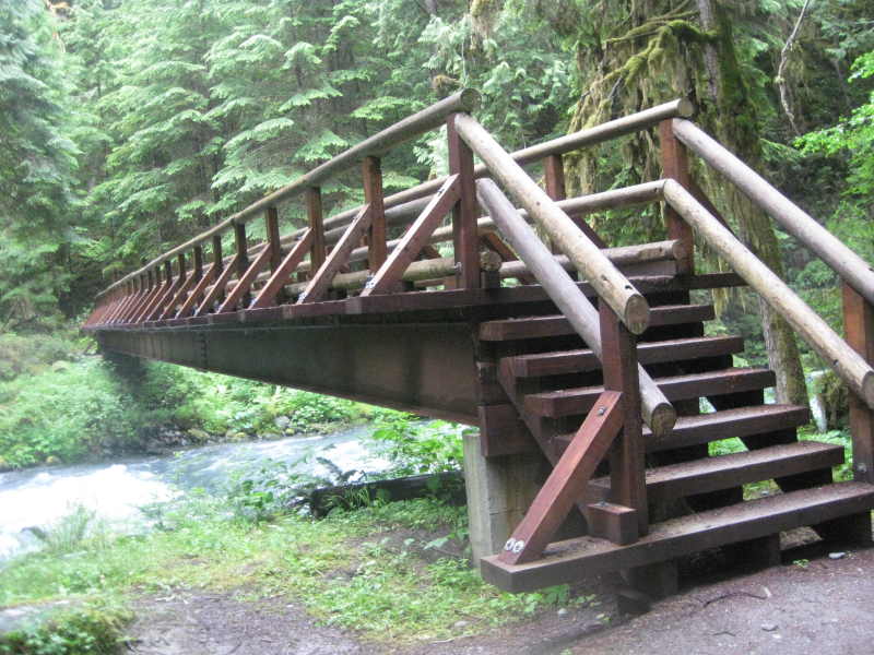
Ready to hit the loop. Steel Bridge right after the Tony Camp Gray Wolf Camp site - right behind is the Three Forks (2 streams merge to one). Deer Park

Dayhiking the loop of Slab Camp, Gray Wolf, Three Forks, Deer Park, & Deer Ridge (18.2 miles with estimated 4500 ft elev gain) (7-17-2011)
This week, I wanted to put some hiking miles in with a dayhike. For
the weekend, spend
one day with family and one day for a dayhike !!! Today was a better choice since it
rained pretty much all morning on Saturday. It was certainily an unusal
summer weather. My friend
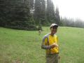
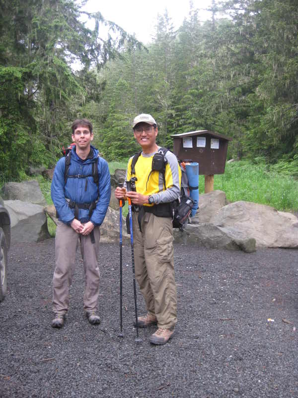
and a PWC (Pennisula Wilderrness Club) member,
Aaron, asked me about
hiking the Deer
Ridge hike (9.2 miles round trip with 2700 ft elev gain). After looking at the map, I suggested making
a loop of Slab camp, Gray Wolf trail, Three Folks, Deer Park, Deer ridge trail, and back to Slab
Camp (18.2 miles with estimated 4500 ft elev gain). Actually,
I read an article (NWhikers forum) that a hiker did an overnigher on the
same route a week ago. I would not select a route that I did not know
about. We decided to hike the loop early in the
morning (meet at 0545am). However,
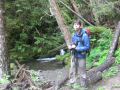
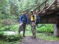
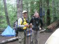
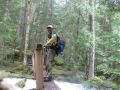
Aaron had an ankle issue due to his new shoes when we reached the Slide Camp
(5.4 miles away). While
he was going back to the Trailhead (Slab Camp), I continued on and hurriedly finished the loop. I was planning to hike up to the Blue Mt but skipped
due to foggy condition and time limitation.
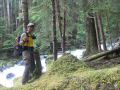
Ready
to hit the loop. Steel
Bridge right after the Tony Camp Gray Wolf Camp
site - right behind is the Three Forks (2 streams merge to one). Deer
Park
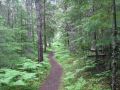
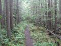
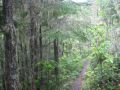
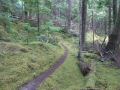
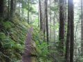
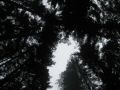
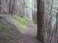
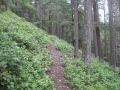
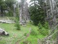
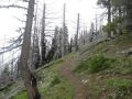
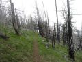
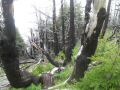
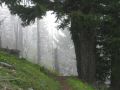
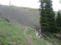
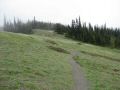
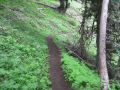
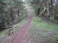
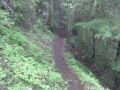
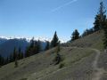
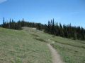
In overall, all the trails were in good shape and SNOW FREE.
It was a fun day hiking in Northeastern
Olympics. The
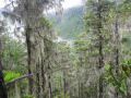
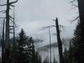
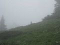
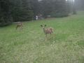
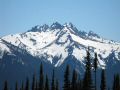
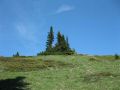
highlight of the hike would be at the Deer Park
with spectacular views of the Olympic Mountains
but they were all obscured by clouds and fogs.
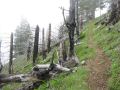
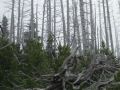
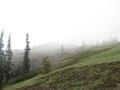
A few blow down trees but none of them was serious. Temp
was mild at 60s. Foggy but did not rain.
Started drizzling when I got back to the
trailhead at 0300 pm.
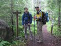
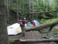
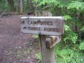
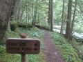
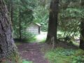
0 miles: Slab Camp (2560 ft elev). Slab Camp Creek. Left 0730am.
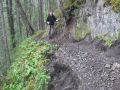
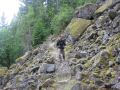
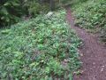
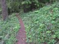
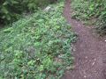
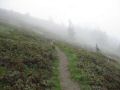
Trail to Camp Tony was VERY WET and MUDDY. Careful footing was required.
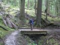
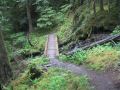
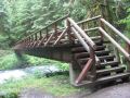
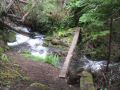
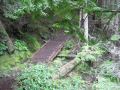
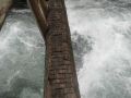
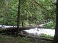
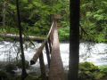
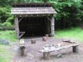
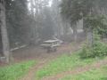
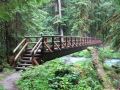
3.1 miles: Camp Tony
(1550 ft elev). A steel footbridge.
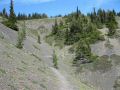
The brige was pretty impressive: strong and steady. A few exposed
areas along the ridge but not really bad.
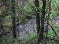
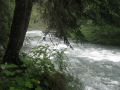
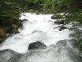
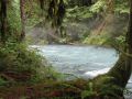
5.4 miles: Slide Camp (2300 ft elev). Gray Wolf River.
Aaron Turned back at 1000am. I
continued on.
8.0 miles: Gray Wolf Camp (2350 ft elev). 1100am.
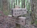
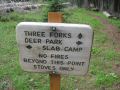
8.6 miles: Three Folks trail. Shelter. (2350 ft elev). 1102am. Spent 20 min to ensure hiking to the right direction. Hiking up to the Deer
Park, Some unnamed peaks
above the Cameron
Creeks could be seen but
was obscured by clouds.
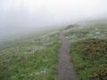
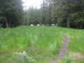
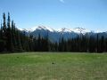
13.6 miles: Deer
Park (5200 ft elev). 0120pm.
Left 0140pm. Deer Ridge trail was STEEP but dry (and no blow
down tree). I literally ran down (for the first time) since
Aaron was waiting at the trailhead. My both feet was getting heavier and heavier.
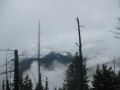
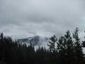
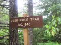
18.2 miles: Deer Ridge Trail. Along the trail, Mt Baldy, and
its surrounding (Tyler Peak, Maynard
Peak) could be seen. Due to clouds, they were barely visible Back
to Slab Camp (2560 ft elev). Arrived back
at trailhead 0300pm. Aaron said that his foot will be ok. It was superfiscial,
rubbing on the bone,
not the ankle itself.
|
|
|
|
|
|
|
|
|
|
|
|
|
|
|
|
|
|
|
|
|
|
|
|
|
|
|
|
|
|
|
|
|
|
|
|
|
|
|
|
|
|
|
|
|
|
|
|
|
|
|
|
|
|
|
|
|
|
|
|
|
|
|
|
|
|
|
|
|
|
|
|
|
|
|
|
|
|
|
|
|
|
|
|
|
|
|
|
|
|
|
|
|
|
|
|
|
|
|
|
|
|
|
|
|
|
|
|
|
|
|
|
|
|
|
|
|
|
|
|
|
|
|
|
|
|
|
|
|
|
|
|
Pictures from Aaron:
|
|
|
|
|
|
|
|
|
|
|
Pictures from Aaron (Deer Ridge Hike on 26 June 2010)--- It's Interesting to note that some of the pictures are almost identical of my pictures.
|
|
|
|
|
|
|
|
|
|
|
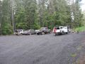
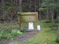
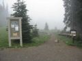
Direction to the Trailhead.
Approximately 2.5 miles west of Sequim on
US Highway 101,
Take a left on the Taylor Cutoff Road (May not see the
street sign. Look for a small Gas
Station)
Continue on Lost Mountain Road and proceed to the
intersection of Forest Service Road 2870 (Dirt Road) (may miss the sign &
continue on the paved road).
Take a left on 2870 (Dirt Road), then
turn right at junction with the 2875 Road (Turn left is the Lower Gray Wolf
Trailhead).
Proceed on 2875 and watch for small
parking area near Slab Camp.