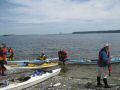
Here was our trip leader's trip description:
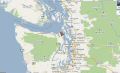
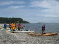
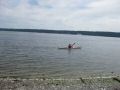
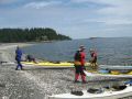
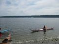
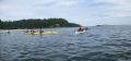
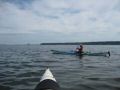
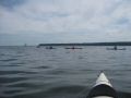
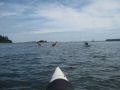
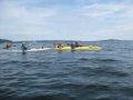
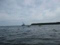
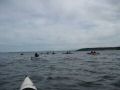
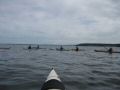
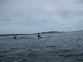
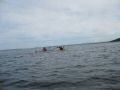
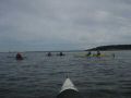
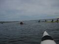
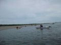
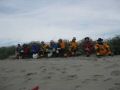
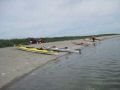
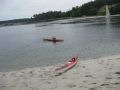
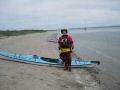
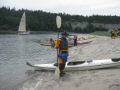
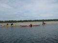
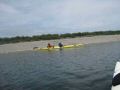
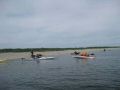
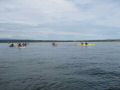
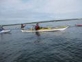
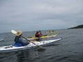
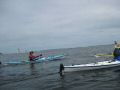
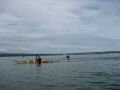
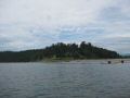
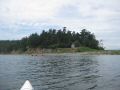
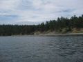
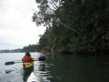
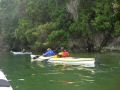
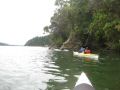
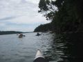
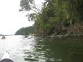
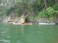
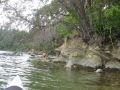
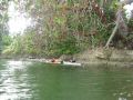
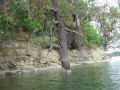
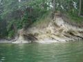
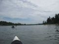
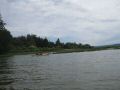
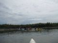
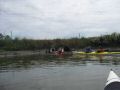
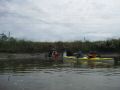
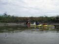
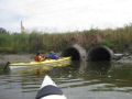
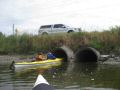
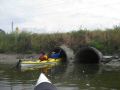
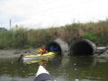
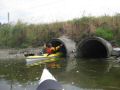
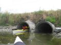
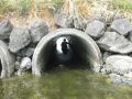
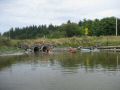
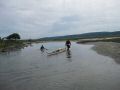
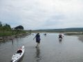
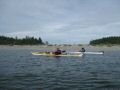
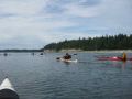
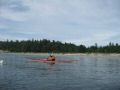
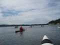
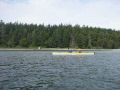
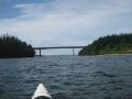
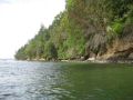
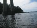
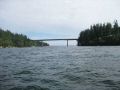
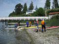
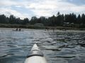
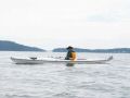
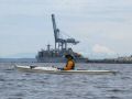
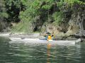
We'll paddle north from Irondale past Chimacum Creek to the tip of sandy Kala Point. From Kala Point, we'll cross to the north side of Indian Island, going well around the Navy dock. At the north end of Indian Island, we'll use a flood assist current to paddle south of Rat Island and on to Fort Flagler for lunch. After lunch, we'll paddle into Kilisut Harbor and follow the quiet, scenic east shore of Indian Island all the way to its southern end. At the south end of Kilisut Harbor, we'll portage over the road and tidal flat into Oak Bay at 3:13 pm +7FT high tide. We'll then paddle NW into Port Townsend Canal at 4 pm with -1.8 KT ebb assist current into Port Hadlock. The portage tide height and PT canal currents are also favorable if we're running an hour early or later than planned. For the final leg of our trip, we can either stay in the ebb current and then cross straight west to the take-out, or we can paddle into Port Hadlock and around Skunk Island (mild back-eddy adverse current).