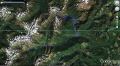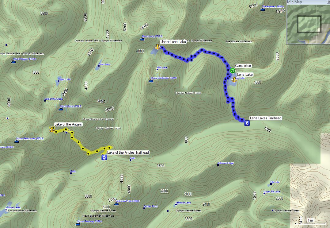
Day hiking the Upper Lena Lake in SE Olympic National Park (6-30-2012) (about 14.2 miles with 3900 ft elevation gain)
I was on an injury list since 7 April. My rib was injured when my mountain bike got flipped over while my wife and I were picking up the seasonal fern brakes. The handle bar stabbed me on the right rib cage. I was reluctant to take X-Ray. After 2 weeks of lingering pain, I took X-Rays to ensure that there was no serious injury. The result was that there were no obvious fracture. The Doc told me to just let it heal by resting about 2 months.
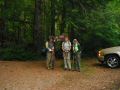
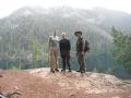
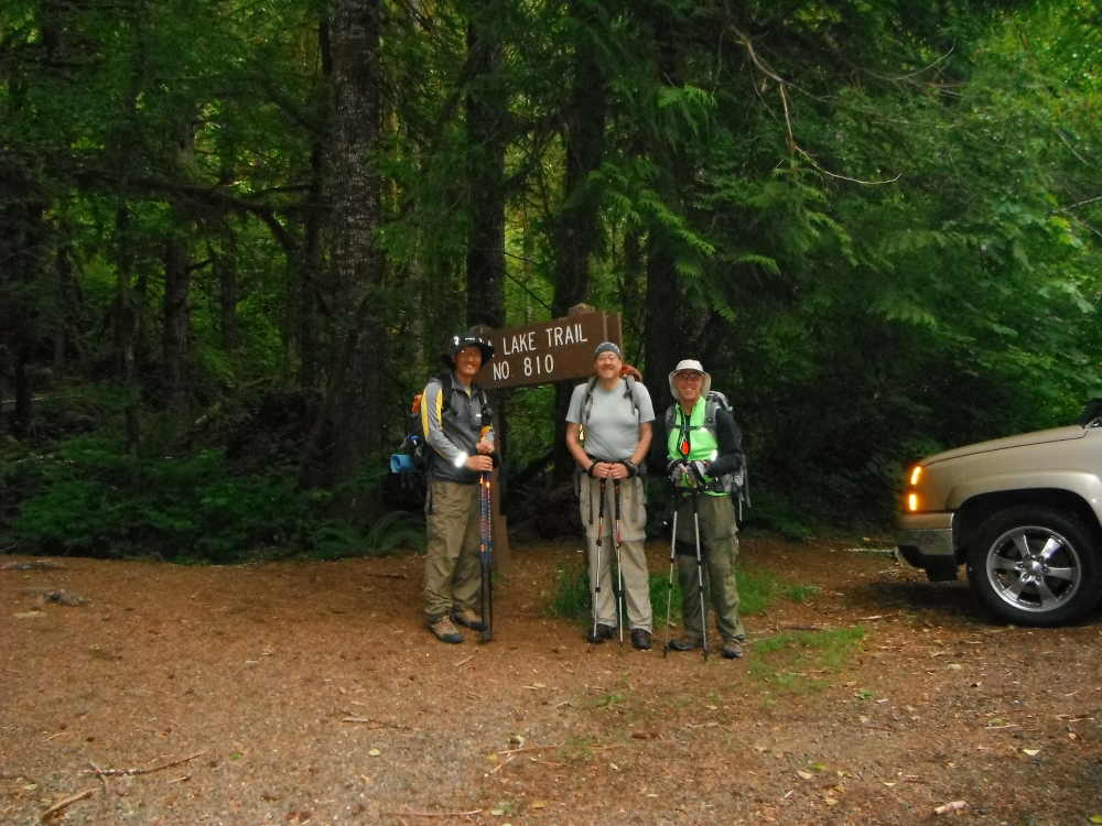
On Saturday (30 June), a couple of co-workers who used to play basketball together during lunch time in 2007 or so wanted to hike the Upper Lena Lake that I hiked back in 2010. At first, I was hesitant to hike since I signed up to climb the Mt Baker starting on the following Monday. However, I felt that I was in good shape and a couple of days of rest would be fine since the real climb is on Tuesday. I also wanted to establish the Point-Of-Contacts with the hikers at work.
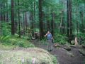
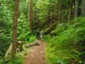
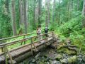
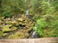
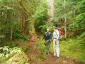
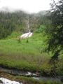
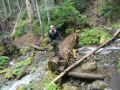
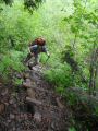
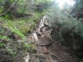
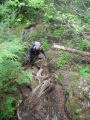
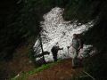
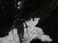
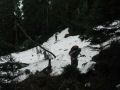
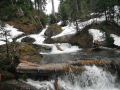
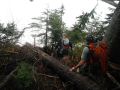
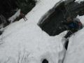
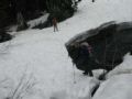
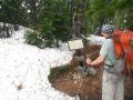
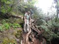
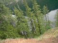
Three of us (Carl, Kenton, and I) hiked the trail. We met at 0500am, Silverdale YMCA, and jumped on Carl's van. I hiked the trail Sept 2010 but it was a lot different and tougher than before. Weather was forecasted slight rain in the area. We got minimal sprinkle above 4000 ft elev, then it stopped. There was lots of snow on the trail above 3500 ft elev. The key was to cross the creek around 3900 ft elev. The water level was knee depth, and we were not about to cross the water. We followed the creek up the hill and found a semi-snow bridge. After crossing the semi-snow bridge over the creek, we took our time to re-join the trail. The trail above 4000 ft elev still had many cut trees which make easy to identify its trail.
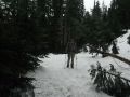
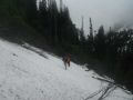
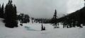
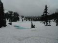
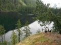
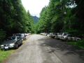
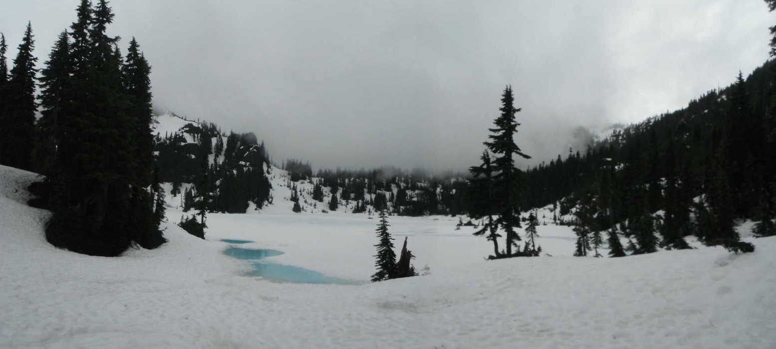
After 5 hrs 40 mins (0640-1220), we arrived at the lake. The Lake was almost completely covered by snow. We took a lunch break and carefully descended the mountain since the trail was rugged, steep, and wet. On the way down, we saw a few groups (who were camping at the Lower Lena Lake) heading up to the Upper Lake without proper gears (no backpack, compass, map, water, GPS, etc). We explained to them the trail condition, but was doubtful if they could get to the Upper Lena Lake based on its trail condition (cross creek and route finding). We again stopped by at the Lunch Rock at the Lower Lena Lake. There were many dayhikers, and also encountered more hikers coming up the hill to the Lower Lena Lake. When we returned back, the trailhead was almost full with the cars.
In overall, it was a good hike that I really enjoyed. Its area with rugged trail (Mt Washington, Puten trail to Mt Stone, & Mildred Lakes) to day hike is one of my favorite places.
|
|
|
|
|
|
|
|
|
|
|
|
|
|
|
|
|
|
|
|
|
|
|
|
|
|
|
|
|
|
|
|
|
|
|
|