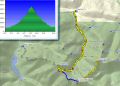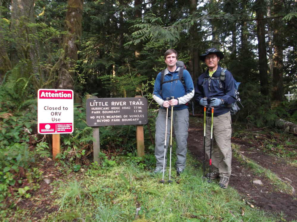
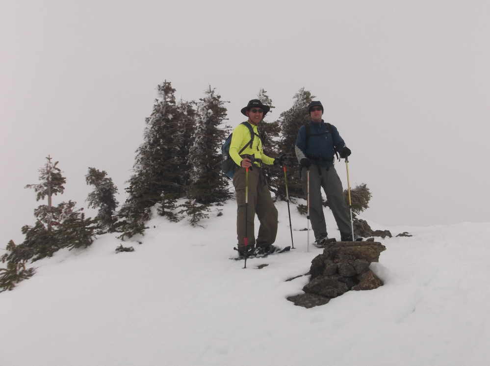
Hiked/snowshoed the LIttle River Trail to Hurricane Hill (Sun, 21 April 2013), 15.6 miles with 5000 ft elev gain.
It was the third time, Les and I cancelled to ski/snowshoe Camp Muir (10000 ft elev, 10 mile swith 5000 ft elev gain) due to inclement weather, and instead, we changed our destination to the Little River Trail that we have talked about the trail a few times. It was a tough day-hike in the early Spring. It took us 9.5 hours (0830-1800) for the hike that was about 15.6 miles with 5000 ft elev.
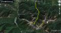
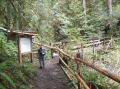
Trailhead was on the Little River Road. The trailhead was just around somebody's house on the paved road that I felt like we started from somebody's backyard. And interestingly, on the left of the trailhead (about 50 ft), the posted sign said that it's a State Property and required the Discover Pass ! I've never seen an Olympics trail that requires the Discover Pass.
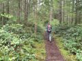
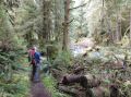
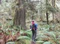
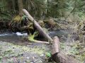
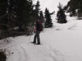
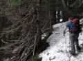
Neither of us hiked the trail before, so, we did quite a bit of route finding and dealt with a few DICEY RIVER crossings on slim logs and several down trees (2 spots had major blow down trees). It took us almost 6 hours to the summit and 3.5 hours of non-stop snowshoeing/hiking/snowshoeing/hiking back to the car.
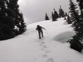
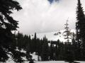
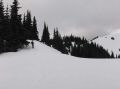
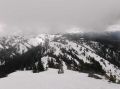
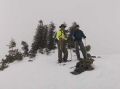
After the first dicey log crossing, we hiked up along Cowen Creek trail and back down which took us about 1/2 hour to figure out the correct trail. Above 3400 ft elev, we used the snowshoes. After 10 minutes break, we left the Hurricane Hill as the clouds were moving in very quickly. I wrote "PWC" and "ISAAC" near the summit as the Kitsap Outdoors were hiking toward Hurricane Hill from Elwha Ranger Station. Coming back down was quite straight forward since we now knew the route, we took some short cuts down the snow field to rejoin the trail near 4000 ft elev, and cross county back to the trailhead.
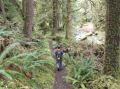
The weather forecast was 50% chance of snow showers in the Heart O' the Hill area and partially Sunny at the Hurricane Ridge area. Temp was about high 30s at the TH and low 30s above 5000 ft elev. For a couple of miles, it was sunny and almost all blue sky. Then, about 3 miles, it was sprinkling for a short period. When we got to the Ridge of the Hurricane Hill Trail, it was little chilly with slight wind but plesant. Then, cloudy was moving in around 1420. On the way down, it was hailing and snowing down to 3200 ft elev, then changed to drizzling. I did not bother to put on my gaiters, so both feet got wet but felt really good for just finishing a tough hike safely !!!
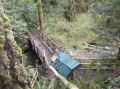
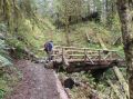
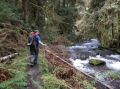
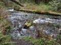
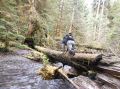
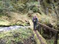
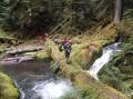
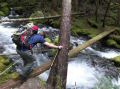
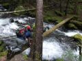
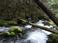
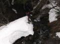
It's probably worthwhile to mention the bridges we had to cross. A few were dicey.
A summary of bridge crossing:
Bridge #1. Well built bridge over the Little River. About
1 mile from the trailhead.
Bridge #2. Well built bridge over a creek. About xx mile
from the trailhead.
Bridge #3. A slim log bridge. Very dicey. Crawled.
Bridge #4. Washed
away. Just above a log was laid. (No Picture).
Bridge #5. A log bridge with side railing.
Bridge #6. Bridge washed away. Walkable log (lots of moss
on top) bridge.
Bridge #7. A slippery log bridge. Very dicey. Crawled.
Bridge #8 and #9. The trail abruptly ended at the River. The
Custom Correct Map indicated crossing the River to the West and cross back in
0.25 miles to the East. Since we could not find the bridge, we
stayed on the East side of the River for 0.25 miles and found the trail back.
|
|
|
|
|
|
|
|
|
|
|
|
|
|
|
|
|
|
|
|
|
|
|
|
|
|
|
|
|
|
|
|
Trailhead driving direction:
a. On HWY 101, pass the Hurricane Ridge Road.
b. About 1.2 miles, turn right to S Pine Street Cut off (Just before the
Bridge Overpass !!! This is the key).
c. About 300 ft, It becomes W. 16th street.
d. About 300 ft, Turn left at S Pine Street.
e. About 500 ft, becomes Black Diamond Road.
f. About 4.4 miles, Turn left at Little River Road.
g. About 500 ft, Trailhead post on the right.