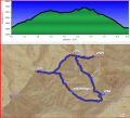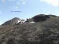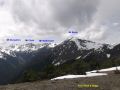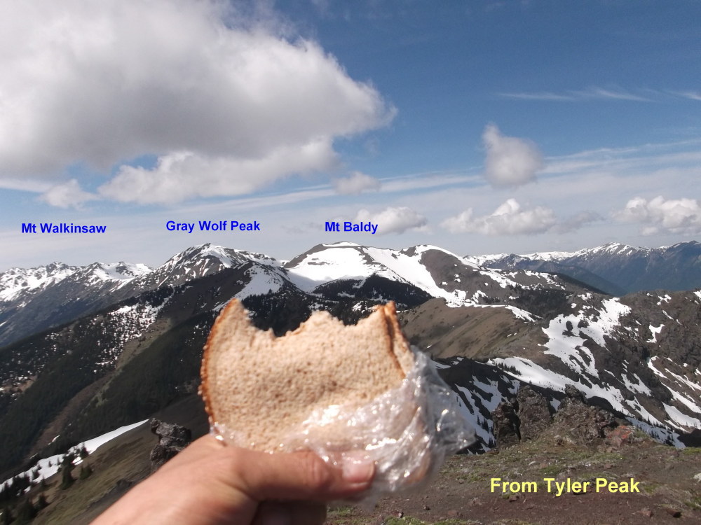
Hiking Tyler Peak (6364 ft) and Mt Baldy (6827 ft) Loop (about 8.8 miles with 4800 ft elev gain), Sat, 5-31-2014
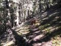
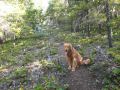
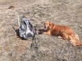
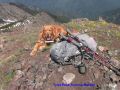
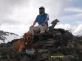
For the last 3 weekends, weather has been lousy. This weekend, it turned out to be excellent, near 75s with blue skies. For the weekend, I wanted to practice backpacking with the PWCers but there was not enough interest. It maybe because I gave them only 2 weeks of notice. Instead, I decided to dayhike. Since my legs were screaming for exercise, I wanted to hike with our family dog some place in the Olympics Forest since dog is not allowed in the National Parks. I came up with the Tyler Peak and Mt Baldy loop that I hiked in 2011. I also hiked Mt Baldy 3 times total before. So, I was familiar with the area.
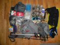
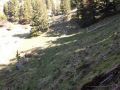
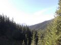
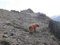
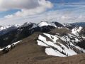
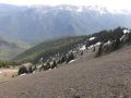
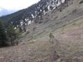
Both Tyler Peak Trail and Maynard Burn Trail are very steep for its mileage, but reward with fantastic interior views of the Olympics. It's an excellent hike for physical conditioning similar to hiking Camp Muir (Mt Rainier). To the Tyler Peak, it's 3 miles with 3100 ft elev gain. Since there are some flat sections before crossing the Mueller Creek and the ridge to the Tyler Peak, most of the elevation gains are quite steep in-between those flat sections. It took me 2.5 hours to the Tyler Peak as I took my time taking several self-video shots. Then, stroll the ridge and steady climbed Mt Baldy. After taking 2nd break at the summit, I took my time coming down the mountain via the Upper Maynard Burn trail. Surprisingly, I had both mountains all by myself: no hiker sighting and only my car at the TH. Total time spent on the trail was 5.5 hours, 0900-1430. Recommend using a high clearance car as my van was banged up a few times on the bottom.
|
|
|
|
|
|
|
|
|
|
|
|
|
|
|
|
|
|
|
|
|
|
|
|
|
|
|
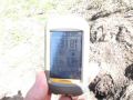
Here was my hiking summary estimated from my GPS and some research:
a. Tyler/Baldy TH
(3200 ft) to Tyler Peak (6364 ft). 3
miles with 3200 elev gain. Crosses the
Mueller Creek (4150 ft elev) at 0.5 miles.
No bushwhacking was needed.
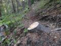
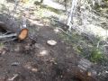
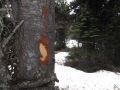
Somebody did an excellent job clearing trees on the trail but also hack
blazes that were not necessary.
They cleared the trees all the way to the tree line, cutting down 40-50
trees. Also cleared trees on the ridge
toward the Mt Baldy. So, the trail was
well defined to the treeline. There is
no trail from treeline to the Ridge between Tyler and Baldy.
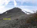
b. Tyler Peak to
Mt Baldy (6827 ft). 2.5 miles with 1600
elev gain and 700 elev loss. One drops
down 600 ft. Climbs up 700 ft,
to the false summit, down little and climb up to
the flat true summit.
c. Mt Baldy to
Junction between Tyler and Baldy ( Junction near 6000 ft).
About 1 miles with 1100 ft elev loss.
d. Tyler & Baldy Junction to Upper Maynard Burn Trail
(Ridge). 0.7 miles with 600
ft elev loss.
e. Upper Maynard Burn trail to Tyler/Baldy TH. Xxx miles with xxx elev loss. Very steep trail that hurts both knees. It's one of those trails that I hiked
backward on and off about 1/4 miles.
After all, I felt really great but, on the next day, my legs (mainly calf areas) were more sore than climbing Mt St Helens 3 weeks earlier !!! My quads were fine, maybe, because I have been Mountain biking once a week or bi-weekly.
It was my first trip that I made several self video shots for the Youtube video. It was sort of funning looking at myself how I hiked.
Trailhead direction:
a. Follow Highway 101 to Sequim Bay State Park, turn west
(left) across from the state park onto Louella Road. It is about 45 miles from
Silverdale/Bremerton.
b. Follow Louella Road one mile to Palo Alto Road and
take a left on Palo Alto Road for 1.1 mile to the Forest Boundary.
c. The Palo Alto becomes FS Road #28. Turn right onto FS
Road #2880, drive past Dungeness Forks Campground for 1 mile stay left till the
sign (2 miles to Dungeness and 6 miles to Tubal Cain Trail). It is about 8 miles from the Campground to TH
(Dirt Road). In Total, TH is about 15
miles in from Louella Road Junction.